Improve your capture, design and build workflow with Leica Geosystems
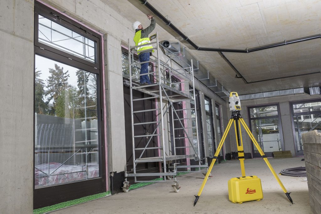
Advanced tools for fit-out by Leica Geosystems When delivering a fit-out project, you need reliable measurements. Professionals trust Leica Geosystems to help them collect, analyse, and present spatial information. With close to 200 years of pioneering solutions to measure the world, Leica Geosystems is best known for its broad array of products that capture data […]
Improve your capture, design and build workflow with Leica Geosystems Read More »