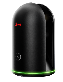
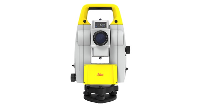
![]() When delivering a fit-out project, you need reliable measurements. Professionals trust Leica Geosystems to help them collect, analyse, and present spatial information. With close to 200 years of pioneering solutions to measure the world, Leica Geosystems is best known for its broad array of products that capture data accurately, model quickly, analyse easily, and visualise and present spatial information, even in 3D.
When delivering a fit-out project, you need reliable measurements. Professionals trust Leica Geosystems to help them collect, analyse, and present spatial information. With close to 200 years of pioneering solutions to measure the world, Leica Geosystems is best known for its broad array of products that capture data accurately, model quickly, analyse easily, and visualise and present spatial information, even in 3D.
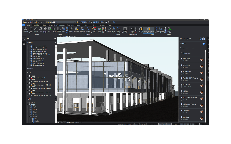
Those who use Leica products every day trust them for their dependability, the value they deliver, and the superior customer support. Leica Geosystems offers the broadest array of solutions for those with a need for highly accurate data capture, fast modelling, easy analysis, and full 3D visualisation and presentation of spatial information.